Stour Road Christchurch
Introduction
The photograph on this page of Stour Road Christchurch by Nigel Mykura as part of the Geograph project.
The Geograph project started in 2005 with the aim of publishing, organising and preserving representative images for every square kilometre of Great Britain, Ireland and the Isle of Man.

There are currently over 7.5m images from over 14,400 individuals and you can help contribute to the project by visiting https://www.geograph.org.uk
Stour Road Christchurch
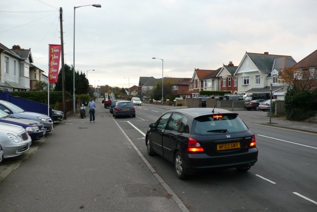
Image: © Nigel Mykura Taken: 15 Nov 2008
Stour Rd. runs from Bargates near Christchurch Rail Station south to the river Stour which it crosses by the only bridge to Southbourne. This is the view SW from near the junction with Douglas Avenue.
Images are licensed for reuse under creativecommons.org/licenses/by-sa/2.0
Image Location
Latitude
50.733361
Longitude
-1.786977