The Quarterlands Road near Lisburn
Introduction
The photograph on this page of The Quarterlands Road near Lisburn by Albert Bridge as part of the Geograph project.
The Geograph project started in 2005 with the aim of publishing, organising and preserving representative images for every square kilometre of Great Britain, Ireland and the Isle of Man.

There are currently over 7.5m images from over 14,400 individuals and you can help contribute to the project by visiting https://www.geograph.org.uk
The Quarterlands Road near Lisburn
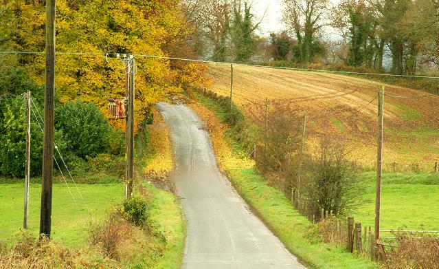
Image: © Albert Bridge Taken: 17 Nov 2008
A minor road running north west from Ballyaghlis to Ballyskeagh. I might be wrong but I understand that the name is derived from the old Scottish system of land measurement - a “quarterland” where land was assessed by value rather than by area. Further information is available on this Wiki link https://en.wikipedia.org/wiki/Markland_(Scots).
Images are licensed for reuse under creativecommons.org/licenses/by-sa/2.0
Image Location
Latitude
54.521454
Longitude
-5.986584