Lane to Delab
Introduction
The photograph on this page of Lane to Delab by Stanley Howe as part of the Geograph project.
The Geograph project started in 2005 with the aim of publishing, organising and preserving representative images for every square kilometre of Great Britain, Ireland and the Isle of Man.

There are currently over 7.5m images from over 14,400 individuals and you can help contribute to the project by visiting https://www.geograph.org.uk
Lane to Delab
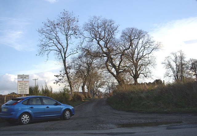
Image: © Stanley Howe Taken: 15 Nov 2008
A dairy farm on the Monymusk Estates.
Images are licensed for reuse under creativecommons.org/licenses/by-sa/2.0
Image Location
Latitude
57.239738
Longitude
-2.523525