Whitwood College
Introduction
The photograph on this page of Whitwood College by David Pickersgill as part of the Geograph project.
The Geograph project started in 2005 with the aim of publishing, organising and preserving representative images for every square kilometre of Great Britain, Ireland and the Isle of Man.

There are currently over 7.5m images from over 14,400 individuals and you can help contribute to the project by visiting https://www.geograph.org.uk
Whitwood College
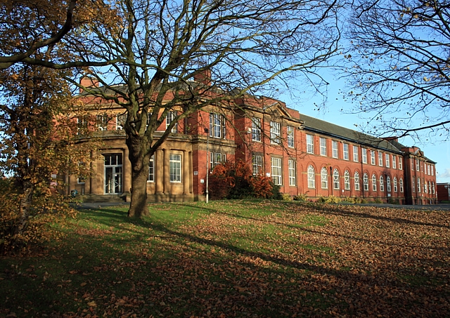
Image: © David Pickersgill Taken: 16 Nov 2008
View along the south elevation of the main block. Great potential to convert it into apartments when it closes - but it's much cheaper to raze it to the ground and build lots of identikit houses instead.
Images are licensed for reuse under creativecommons.org/licenses/by-sa/2.0
Image Location
Latitude
53.718691
Longitude
-1.373222