Dorking Pump
Introduction
The photograph on this page of Dorking Pump by Colin Smith as part of the Geograph project.
The Geograph project started in 2005 with the aim of publishing, organising and preserving representative images for every square kilometre of Great Britain, Ireland and the Isle of Man.

There are currently over 7.5m images from over 14,400 individuals and you can help contribute to the project by visiting https://www.geograph.org.uk
Dorking Pump
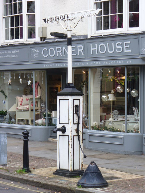
Image: © Colin Smith Taken: 16 Nov 2008
Historic pump at the corner of South and West Streets in Dorking. It carries fingerposts pointing to Horsham and Guildford - but the latter now points unwary motorists in the wrong direction for the one way West Street.
Images are licensed for reuse under creativecommons.org/licenses/by-sa/2.0
Image Location
Latitude
51.231379
Longitude
-0.333808