Broad Lane
Introduction
The photograph on this page of Broad Lane by E Gammie as part of the Geograph project.
The Geograph project started in 2005 with the aim of publishing, organising and preserving representative images for every square kilometre of Great Britain, Ireland and the Isle of Man.

There are currently over 7.5m images from over 14,400 individuals and you can help contribute to the project by visiting https://www.geograph.org.uk
Broad Lane
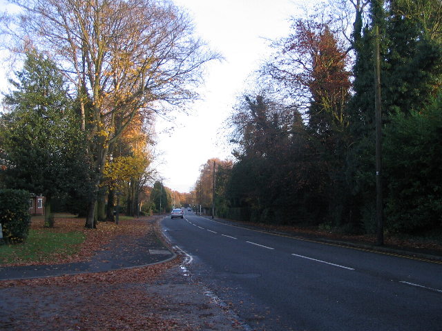
Image: © E Gammie Taken: 16 Nov 2008
Although not visible, there is housing on both sides of the road, mainly a mix of detached and semi-detached. The trees on the horizon are those on Hearsall Common. In snow, 1990 : http://www.geograph.org.uk/photo/1073458
Images are licensed for reuse under creativecommons.org/licenses/by-sa/2.0
Image Location


Leaflet Map data © OpenStreetMap
Latitude
52.406185
Longitude
-1.553678