Elstead old and new bridges (1)
Introduction
The photograph on this page of Elstead old and new bridges (1) by Nigel Cox as part of the Geograph project.
The Geograph project started in 2005 with the aim of publishing, organising and preserving representative images for every square kilometre of Great Britain, Ireland and the Isle of Man.

There are currently over 7.5m images from over 14,400 individuals and you can help contribute to the project by visiting https://www.geograph.org.uk
Elstead old and new bridges (1)
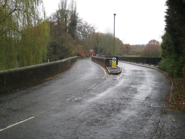
Image: © Nigel Cox Taken: 13 Nov 2008
The original Elstead Bridge on the left is a stone built medieval structure dating from around 1300 and crossing the River Wey. A brick parapet was added in 1826. On the right is the new bridge constructed in 1993 to relieve the obvious bottleneck for traffic. The road is the B3001 Farnham Road. For a view looking down between the bridges see Image
Images are licensed for reuse under creativecommons.org/licenses/by-sa/2.0
Image Location


Leaflet Map data © OpenStreetMap
Latitude
51.186177
Longitude
-0.705901