Culverden Park Rd
Introduction
The photograph on this page of Culverden Park Rd by N Chadwick as part of the Geograph project.
The Geograph project started in 2005 with the aim of publishing, organising and preserving representative images for every square kilometre of Great Britain, Ireland and the Isle of Man.

There are currently over 7.5m images from over 14,400 individuals and you can help contribute to the project by visiting https://www.geograph.org.uk
Culverden Park Rd
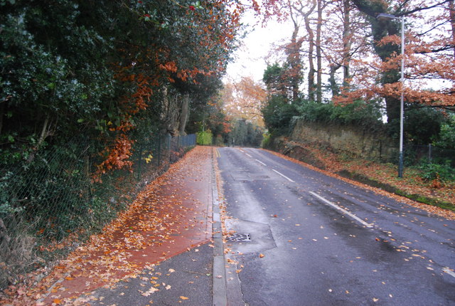
Image: © N Chadwick Taken: 16 Nov 2008
At this point the road cuts through an outcrop of Tunbridge Wells Sandstone.
Images are licensed for reuse under creativecommons.org/licenses/by-sa/2.0
Image Location


Leaflet Map data © OpenStreetMap
Latitude
51.140657
Longitude
0.250625