The 'New' Leven Cut
Introduction
The photograph on this page of The 'New' Leven Cut by Calum McRoberts as part of the Geograph project.
The Geograph project started in 2005 with the aim of publishing, organising and preserving representative images for every square kilometre of Great Britain, Ireland and the Isle of Man.

There are currently over 7.5m images from over 14,400 individuals and you can help contribute to the project by visiting https://www.geograph.org.uk
The 'New' Leven Cut
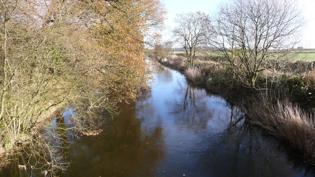
Image: © Calum McRoberts Taken: 16 Nov 2008
The excavation of the 32 foot-wide New Cut began on 1st July 1828 and entailed the removal of 318,000 cubic yards of soil. It was to follow a straight line travelling 5,516 yards.
Images are licensed for reuse under creativecommons.org/licenses/by-sa/2.0
Image Location
Latitude
56.180332
Longitude
-3.330908