Church End, Leckhampstead
Introduction
The photograph on this page of Church End, Leckhampstead by mick finn as part of the Geograph project.
The Geograph project started in 2005 with the aim of publishing, organising and preserving representative images for every square kilometre of Great Britain, Ireland and the Isle of Man.

There are currently over 7.5m images from over 14,400 individuals and you can help contribute to the project by visiting https://www.geograph.org.uk
Church End, Leckhampstead
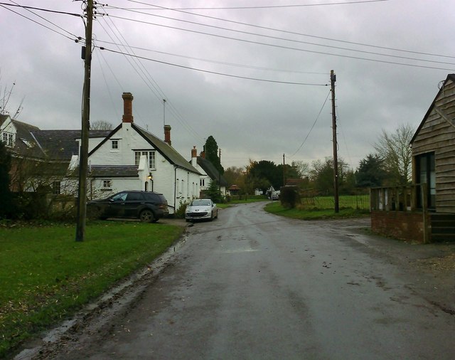
Image: © mick finn Taken: 16 Nov 2008
The main street in this part of the village. Part of what looks like the village hall can be seen on the right.
Images are licensed for reuse under creativecommons.org/licenses/by-sa/2.0
Image Location
Latitude
52.034763
Longitude
-0.943079