Lent Rise, Burnham (Bucks)
Introduction
The photograph on this page of Lent Rise, Burnham (Bucks) by David Kemp as part of the Geograph project.
The Geograph project started in 2005 with the aim of publishing, organising and preserving representative images for every square kilometre of Great Britain, Ireland and the Isle of Man.

There are currently over 7.5m images from over 14,400 individuals and you can help contribute to the project by visiting https://www.geograph.org.uk
Lent Rise, Burnham (Bucks)
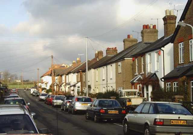
Image: © David Kemp Taken: 12 Jan 2006
Terraced housing such as this was built towards the end of the nineteenth century and is fairly typical of the Lent Rise area of Burnham. This is Milner Road looking north.
Images are licensed for reuse under creativecommons.org/licenses/by-sa/2.0
Image Location
Latitude
51.524849
Longitude
-0.668072