Bridge Farmhouse
Introduction
The photograph on this page of Bridge Farmhouse by Ian Capper as part of the Geograph project.
The Geograph project started in 2005 with the aim of publishing, organising and preserving representative images for every square kilometre of Great Britain, Ireland and the Isle of Man.

There are currently over 7.5m images from over 14,400 individuals and you can help contribute to the project by visiting https://www.geograph.org.uk
Bridge Farmhouse
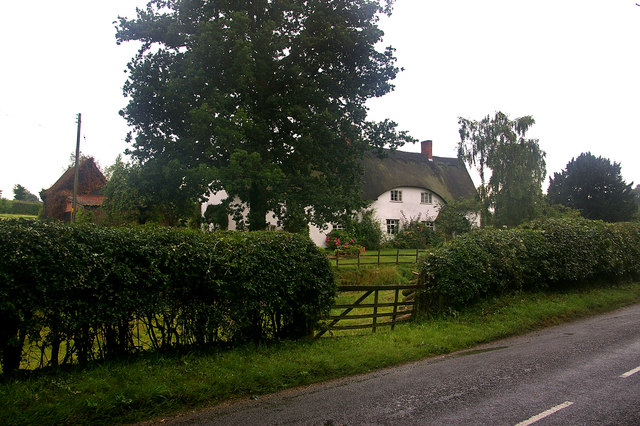
Image: © Ian Capper Taken: 7 Aug 2008
Grade II* listed house, now subdivided into two. The original part dates from the 14th century, with 16th, 18th and 20th century additions.
Images are licensed for reuse under creativecommons.org/licenses/by-sa/2.0
Image Location
Latitude
52.348644
Longitude
1.422183