The Cwellyn Arms, Rhyd -Ddu
Introduction
The photograph on this page of The Cwellyn Arms, Rhyd -Ddu by Eirian Evans as part of the Geograph project.
The Geograph project started in 2005 with the aim of publishing, organising and preserving representative images for every square kilometre of Great Britain, Ireland and the Isle of Man.

There are currently over 7.5m images from over 14,400 individuals and you can help contribute to the project by visiting https://www.geograph.org.uk
The Cwellyn Arms, Rhyd -Ddu
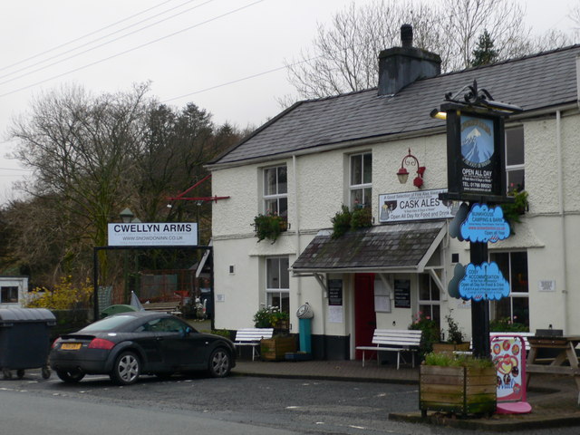
Image: © Eirian Evans Taken: 14 Nov 2008
All kinds of accommodation here, from B&B to bunkhouse and camping. it is well situated between Snowdon to the east and Y Garn and Trum y Ddisgl to the west.
Images are licensed for reuse under creativecommons.org/licenses/by-sa/2.0
Image Location


Leaflet Map data © OpenStreetMap
Latitude
53.054152
Longitude
-4.136058