Landing Strip, nr Tingewick
Introduction
The photograph on this page of Landing Strip, nr Tingewick by mick finn as part of the Geograph project.
The Geograph project started in 2005 with the aim of publishing, organising and preserving representative images for every square kilometre of Great Britain, Ireland and the Isle of Man.

There are currently over 7.5m images from over 14,400 individuals and you can help contribute to the project by visiting https://www.geograph.org.uk
Landing Strip, nr Tingewick
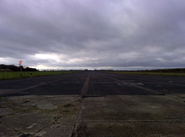
Image: © mick finn Taken: 15 Nov 2008
A landing strip on part of the former Finmere airfield; it runs parallel with the A421 Tingewick Bypass. For many years, a large Sunday market has been held on another part of the airfield to the west. The airfield was an RAF station during WWII. http://batroypics.googlepages.com/raffinmere
Images are licensed for reuse under creativecommons.org/licenses/by-sa/2.0
Image Location
Latitude
51.985352
Longitude
-1.053456