New Stretch of the A66
Introduction
The photograph on this page of New Stretch of the A66 by David Lally as part of the Geograph project.
The Geograph project started in 2005 with the aim of publishing, organising and preserving representative images for every square kilometre of Great Britain, Ireland and the Isle of Man.

There are currently over 7.5m images from over 14,400 individuals and you can help contribute to the project by visiting https://www.geograph.org.uk
New Stretch of the A66
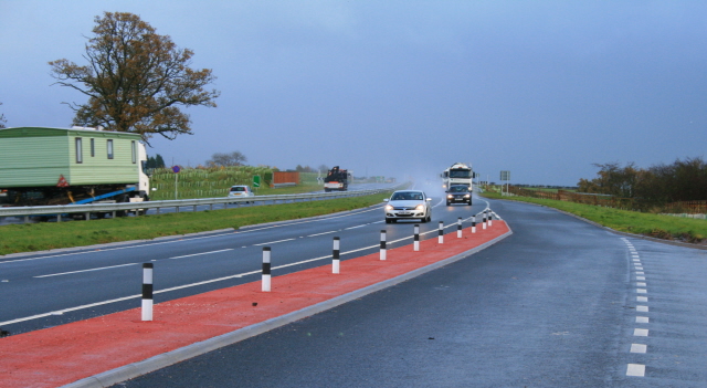
Image: © David Lally Taken: 10 Nov 2008
By-passing Temple Sowerby. A brief, but heavy shower has just passed. I do not know when this by-pass was built, but my Sat-Nav got in a panic thinking I was driving through a field and the mapping is only a year or so old.
Images are licensed for reuse under creativecommons.org/licenses/by-sa/2.0
Image Location
Latitude
54.633201
Longitude
-2.603509