Neuadd Bentref/Village Hall, Rhosneigr
Introduction
The photograph on this page of Neuadd Bentref/Village Hall, Rhosneigr by Eric Jones as part of the Geograph project.
The Geograph project started in 2005 with the aim of publishing, organising and preserving representative images for every square kilometre of Great Britain, Ireland and the Isle of Man.

There are currently over 7.5m images from over 14,400 individuals and you can help contribute to the project by visiting https://www.geograph.org.uk
Neuadd Bentref/Village Hall, Rhosneigr
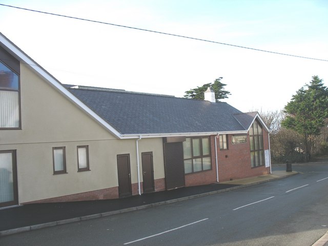
Image: © Eric Jones Taken: 14 Nov 2008
This new building partly financed by public subscription stands on the corner of Awel-y-mor and the High Street. It is part of a programme of regeneration in this part of the village, which also has included the building of a new library and a toilet block. Image
Images are licensed for reuse under creativecommons.org/licenses/by-sa/2.0
Image Location
Latitude
53.227519
Longitude
-4.521048