Lane to Milton Combe
Introduction
The photograph on this page of Lane to Milton Combe by Derek Harper as part of the Geograph project.
The Geograph project started in 2005 with the aim of publishing, organising and preserving representative images for every square kilometre of Great Britain, Ireland and the Isle of Man.

There are currently over 7.5m images from over 14,400 individuals and you can help contribute to the project by visiting https://www.geograph.org.uk
Lane to Milton Combe
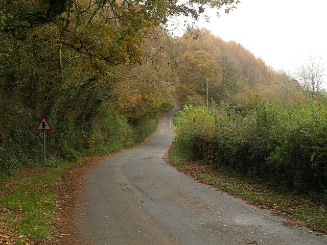
Image: © Derek Harper Taken: 8 Nov 2008
The lane from Maristow climbs away from the valley of the Milton Brook, a tributary of the Tavy. On the left is Oak Wood.
Images are licensed for reuse under creativecommons.org/licenses/by-sa/2.0
Image Location


Leaflet Map data © OpenStreetMap
Latitude
50.467313
Longitude
-4.133837