A1120 Hackney Road, Peasenhall
Introduction
The photograph on this page of A1120 Hackney Road, Peasenhall by Geographer as part of the Geograph project.
The Geograph project started in 2005 with the aim of publishing, organising and preserving representative images for every square kilometre of Great Britain, Ireland and the Isle of Man.

There are currently over 7.5m images from over 14,400 individuals and you can help contribute to the project by visiting https://www.geograph.org.uk
A1120 Hackney Road, Peasenhall
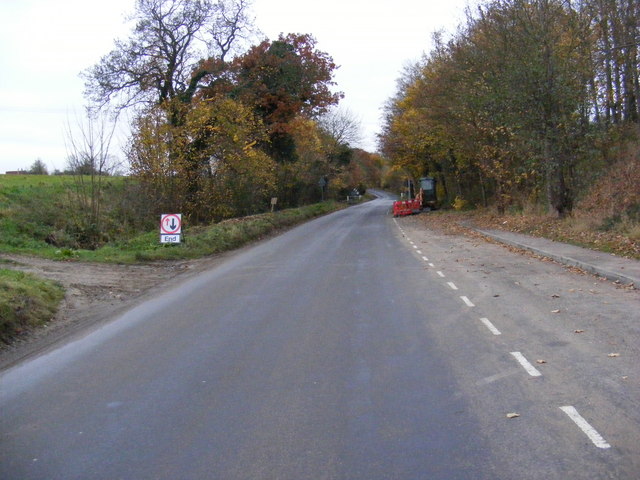
Image: © Geographer Taken: 14 Nov 2008
Looking towards Badingham at the junction that will become Russell Close with layby on the right.
Images are licensed for reuse under creativecommons.org/licenses/by-sa/2.0
Image Location
Latitude
52.270203
Longitude
1.444517