Moorland near Higher Godsworthy
Introduction
The photograph on this page of Moorland near Higher Godsworthy by MrC as part of the Geograph project.
The Geograph project started in 2005 with the aim of publishing, organising and preserving representative images for every square kilometre of Great Britain, Ireland and the Isle of Man.

There are currently over 7.5m images from over 14,400 individuals and you can help contribute to the project by visiting https://www.geograph.org.uk
Moorland near Higher Godsworthy
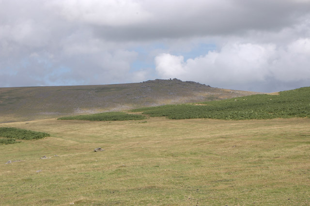
Image: © MrC Taken: 30 Jul 2006
The bracken-covered slope that leads to Cox Tor are in the foreground. Roos Tor (SX 543 766) is on the horizon.
Images are licensed for reuse under creativecommons.org/licenses/by-sa/2.0
Image Location
Latitude
50.573298
Longitude
-4.077328