Strachur Bay
Introduction
The photograph on this page of Strachur Bay by Richard Webb as part of the Geograph project.
The Geograph project started in 2005 with the aim of publishing, organising and preserving representative images for every square kilometre of Great Britain, Ireland and the Isle of Man.

There are currently over 7.5m images from over 14,400 individuals and you can help contribute to the project by visiting https://www.geograph.org.uk
Strachur Bay
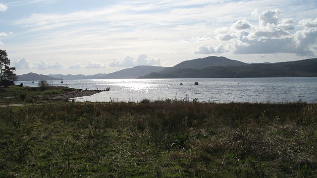
Image: © Richard Webb Taken: 27 Apr 2008
Not the outflow of the Cur - that runs most of the length of Cowal, via Loch Eck to the Holy Loch, but a smaller burn. Dùn Leacainn visible across Loch Fyne.
Images are licensed for reuse under creativecommons.org/licenses/by-sa/2.0
Image Location


Leaflet Map data © OpenStreetMap
Latitude
56.167761
Longitude
-5.081739