Houses at Worrall Hill
Introduction
The photograph on this page of Houses at Worrall Hill by Pauline E as part of the Geograph project.
The Geograph project started in 2005 with the aim of publishing, organising and preserving representative images for every square kilometre of Great Britain, Ireland and the Isle of Man.

There are currently over 7.5m images from over 14,400 individuals and you can help contribute to the project by visiting https://www.geograph.org.uk
Houses at Worrall Hill
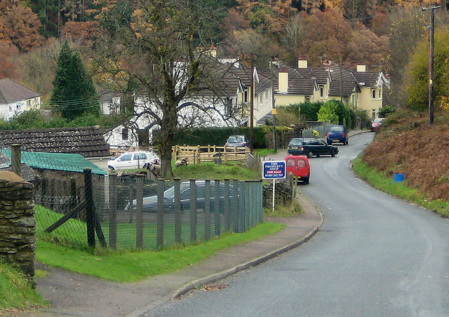
Image: © Pauline E Taken: 14 Nov 2008
Valley Road - aptly named as the road drops steeply down into Upper Lydrook. The hillside location means the villagers have superb views across the forested valley - particularly colourful at this time of year.
Images are licensed for reuse under creativecommons.org/licenses/by-sa/2.0
Image Location
Latitude
51.833097
Longitude
-2.57638