Edge End Methodist Church
Introduction
The photograph on this page of Edge End Methodist Church by Pauline E as part of the Geograph project.
The Geograph project started in 2005 with the aim of publishing, organising and preserving representative images for every square kilometre of Great Britain, Ireland and the Isle of Man.

There are currently over 7.5m images from over 14,400 individuals and you can help contribute to the project by visiting https://www.geograph.org.uk
Edge End Methodist Church
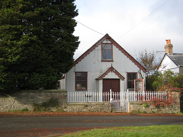
Image: © Pauline E Taken: 14 Nov 2008
Dwarfed by the nearby tree is the 'tin tabernacle' at Edge End. Situated on Chapel Walk near its junction with Malvern Way.
Images are licensed for reuse under creativecommons.org/licenses/by-sa/2.0
Image Location
Latitude
51.816754
Longitude
-2.590388