Portnalls Road, Coulsdon
Introduction
The photograph on this page of Portnalls Road, Coulsdon by Dr Neil Clifton as part of the Geograph project.
The Geograph project started in 2005 with the aim of publishing, organising and preserving representative images for every square kilometre of Great Britain, Ireland and the Isle of Man.

There are currently over 7.5m images from over 14,400 individuals and you can help contribute to the project by visiting https://www.geograph.org.uk
Portnalls Road, Coulsdon
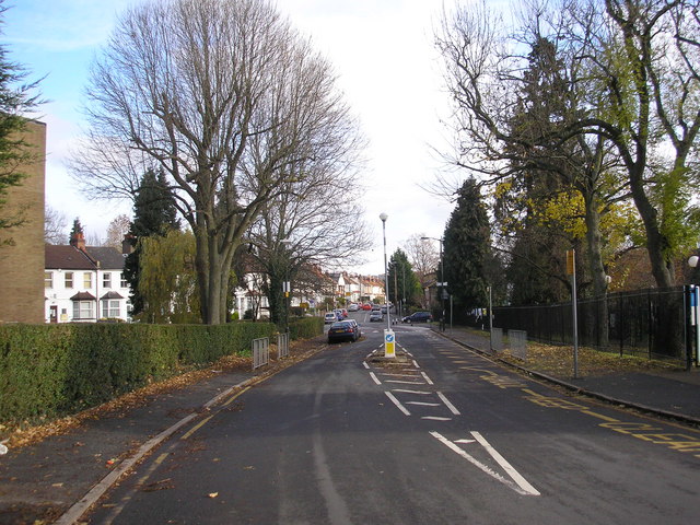
Image: © Dr Neil Clifton Taken: 14 Nov 2008
Portnalls Road leads down from Chipstead Village to Chipstead Valley Road at Coulsdon. Here we see its northern end looking towards the Chipstead Valley Road junction, on a sunny November day. The big ash in the church grounds of St. Aidan's (on the left) has lost all its leaves, but other trees hang on.
Images are licensed for reuse under creativecommons.org/licenses/by-sa/2.0
Image Location
Latitude
51.318644
Longitude
-0.144806