Bridleway from Colton Cross
Introduction
The photograph on this page of Bridleway from Colton Cross by Barbara Cook as part of the Geograph project.
The Geograph project started in 2005 with the aim of publishing, organising and preserving representative images for every square kilometre of Great Britain, Ireland and the Isle of Man.

There are currently over 7.5m images from over 14,400 individuals and you can help contribute to the project by visiting https://www.geograph.org.uk
Bridleway from Colton Cross
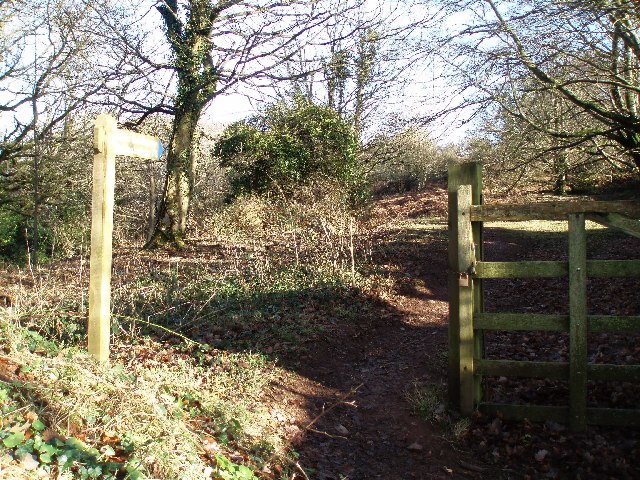
Image: © Barbara Cook Taken: 11 Jan 2006
The sign reads Public Bridleway, Monksilver 11/2. The path is signed through the woods with blue markers which is why the signpost has a blue end.
Images are licensed for reuse under creativecommons.org/licenses/by-sa/2.0
Image Location


Leaflet Map data © OpenStreetMap
Latitude
51.116403
Longitude
-3.348626