Ironville - Codnor Park Lock (view east)
Introduction
The photograph on this page of Ironville - Codnor Park Lock (view east) by Dave Bevis as part of the Geograph project.
The Geograph project started in 2005 with the aim of publishing, organising and preserving representative images for every square kilometre of Great Britain, Ireland and the Isle of Man.

There are currently over 7.5m images from over 14,400 individuals and you can help contribute to the project by visiting https://www.geograph.org.uk
Ironville - Codnor Park Lock (view east)
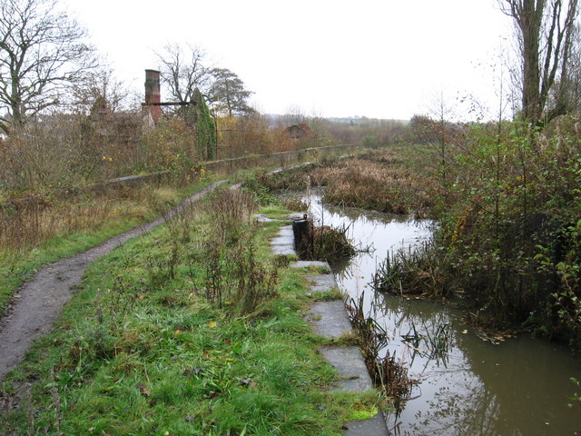
Image: © Dave Bevis Taken: 14 Nov 2008
One of a flight of 7 locks on the derelict Cromford Canal near Ironville. Photo Image provides a view west from the same point.
Images are licensed for reuse under creativecommons.org/licenses/by-sa/2.0
Image Location
Latitude
53.05983
Longitude
-1.342237