Is that the top
Introduction
The photograph on this page of Is that the top by Phil Jones as part of the Geograph project.
The Geograph project started in 2005 with the aim of publishing, organising and preserving representative images for every square kilometre of Great Britain, Ireland and the Isle of Man.

There are currently over 7.5m images from over 14,400 individuals and you can help contribute to the project by visiting https://www.geograph.org.uk
Is that the top
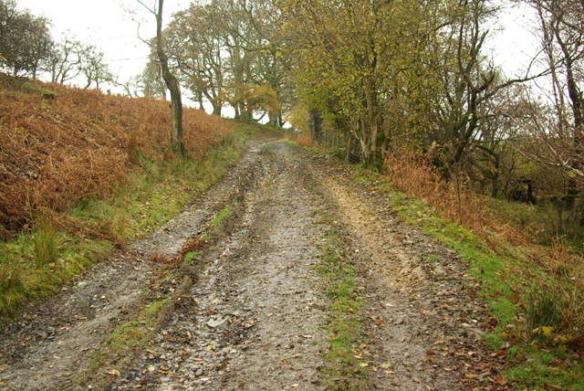
Image: © Phil Jones Taken: 14 Nov 2008
Looking up the track (bridleway) towards the top. Water has cut down into the surface, mud and leaves made the walk a slippery one.
Images are licensed for reuse under creativecommons.org/licenses/by-sa/2.0
Image Location
Latitude
52.132769
Longitude
-3.551807