Cranswick Methodist Church
Introduction
The photograph on this page of Cranswick Methodist Church by Peter Church as part of the Geograph project.
The Geograph project started in 2005 with the aim of publishing, organising and preserving representative images for every square kilometre of Great Britain, Ireland and the Isle of Man.

There are currently over 7.5m images from over 14,400 individuals and you can help contribute to the project by visiting https://www.geograph.org.uk
Cranswick Methodist Church
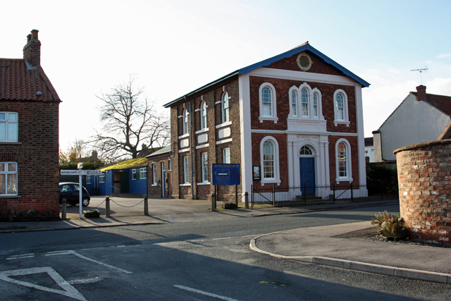
Image: © Peter Church Taken: 12 Nov 2008
This splendidly maintained building greets one immediately after leaving the A164 to enter the village. The road in the foreground is the southern tip of Hutton Road.
Images are licensed for reuse under creativecommons.org/licenses/by-sa/2.0
Image Location
Latitude
53.957782
Longitude
-0.443925