Demolition site, Mendalgief Road
Introduction
The photograph on this page of Demolition site, Mendalgief Road by Robin Drayton as part of the Geograph project.
The Geograph project started in 2005 with the aim of publishing, organising and preserving representative images for every square kilometre of Great Britain, Ireland and the Isle of Man.

There are currently over 7.5m images from over 14,400 individuals and you can help contribute to the project by visiting https://www.geograph.org.uk
Demolition site, Mendalgief Road
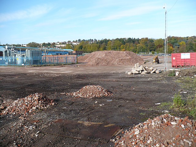
Image: © Robin Drayton Taken: 27 Oct 2008
The site was occupied for 85 years by the Whiteheads steelworks which in its heyday in the 1970s employed up to 3000 people. Recently, just before its closure in 2005 it was the Corus Special Strip (CSS) operation. At the date of this photo it was earmarked for hospital and related uses, but this never happened. In 2022 the preparation for the development of Royal Victoria Court, a brand-new mixed tenure development of 528 quality homes, was underway. The trees in the background are in Belle Vue Park. http://www.geograph.org.uk/photo/705342
Images are licensed for reuse under creativecommons.org/licenses/by-sa/2.0
Image Location
Latitude
51.574658
Longitude
-2.99677