Tamerton Foliot
Introduction
The photograph on this page of Tamerton Foliot by Derek Harper as part of the Geograph project.
The Geograph project started in 2005 with the aim of publishing, organising and preserving representative images for every square kilometre of Great Britain, Ireland and the Isle of Man.

There are currently over 7.5m images from over 14,400 individuals and you can help contribute to the project by visiting https://www.geograph.org.uk
Tamerton Foliot
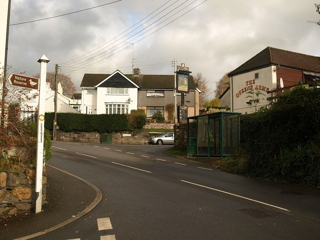
Image: © Derek Harper Taken: 8 Nov 2008
Junctions at the bottom of the steep village street (Fore Street). On the right, behind the bus shelter, is the Queens Arms. The sign indicates that down Station Road to the left is Warleigh Point Nature Reserve - see Image
Images are licensed for reuse under creativecommons.org/licenses/by-sa/2.0
Image Location
Latitude
50.428316
Longitude
-4.15616