Underpass to Ballen's Rough
Introduction
The photograph on this page of Underpass to Ballen's Rough by David Anstiss as part of the Geograph project.
The Geograph project started in 2005 with the aim of publishing, organising and preserving representative images for every square kilometre of Great Britain, Ireland and the Isle of Man.

There are currently over 7.5m images from over 14,400 individuals and you can help contribute to the project by visiting https://www.geograph.org.uk
Underpass to Ballen's Rough
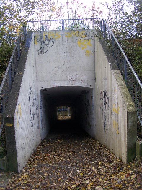
Image: © David Anstiss Taken: 11 Nov 2008
Goes under North Dane Way, from Hook Wood. Cyclepath at end of tunnel, goes right to Capstone Country Park, or left to Playing Fields / Kestrel Shopping Centre.
Images are licensed for reuse under creativecommons.org/licenses/by-sa/2.0
Image Location
Latitude
51.340506
Longitude
0.544133