Killyleagh harbour (5)
Introduction
The photograph on this page of Killyleagh harbour (5) by Albert Bridge as part of the Geograph project.
The Geograph project started in 2005 with the aim of publishing, organising and preserving representative images for every square kilometre of Great Britain, Ireland and the Isle of Man.

There are currently over 7.5m images from over 14,400 individuals and you can help contribute to the project by visiting https://www.geograph.org.uk
Killyleagh harbour (5)
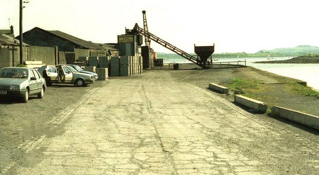
Image: © Albert Bridge Taken: 5 May 1990
See Image The view along the former commercial quay. It has now been re-developed beyond recognition.
Images are licensed for reuse under creativecommons.org/licenses/by-sa/2.0
Image Location
Latitude
54.397042
Longitude
-5.645735