Crow Close
Introduction
The photograph on this page of Crow Close by Richard Croft as part of the Geograph project.
The Geograph project started in 2005 with the aim of publishing, organising and preserving representative images for every square kilometre of Great Britain, Ireland and the Isle of Man.

There are currently over 7.5m images from over 14,400 individuals and you can help contribute to the project by visiting https://www.geograph.org.uk
Crow Close
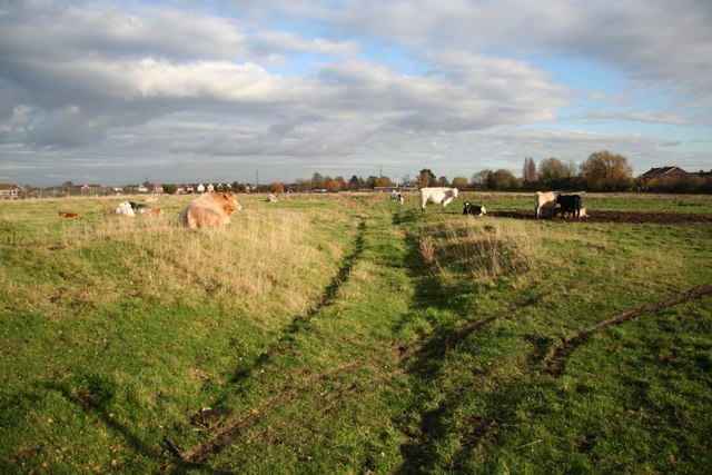
Image: © Richard Croft Taken: 12 Nov 2008
The site of one of the medieval settlements that evolved into what is now modern-day Bingham. Established before the 10th century and seemingly separate from the market town of Bingham, the settlement was recorded in the Domesday survey of 1086 though only sparsely populated by 1586 and decline shortly thereafter. A public footpath crosses the site on the line of the old Main Street.
Images are licensed for reuse under creativecommons.org/licenses/by-sa/2.0
Image Location
Latitude
52.951225
Longitude
-0.941717