Veensgarth, Tingwall
Introduction
The photograph on this page of Veensgarth, Tingwall by Mike Pennington as part of the Geograph project.
The Geograph project started in 2005 with the aim of publishing, organising and preserving representative images for every square kilometre of Great Britain, Ireland and the Isle of Man.

There are currently over 7.5m images from over 14,400 individuals and you can help contribute to the project by visiting https://www.geograph.org.uk
Veensgarth, Tingwall
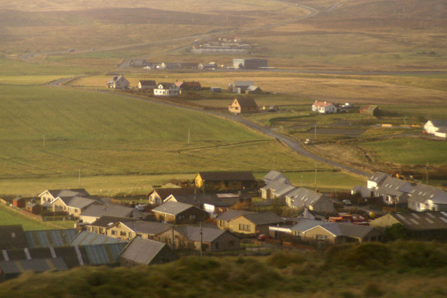
Image: © Mike Pennington Taken: 12 Nov 2008
Looking over the settlement at Veensgarth from the main road north of Lerwick. The hangar of Tingwall Airport is visible in the distance, as well as the westside road snaking up the hill.
Images are licensed for reuse under creativecommons.org/licenses/by-sa/2.0
Image Location
Latitude
60.181874
Longitude
-1.230788