View towards Ruddington from Mill Lane
Introduction
The photograph on this page of View towards Ruddington from Mill Lane by Ralph Mills as part of the Geograph project.
The Geograph project started in 2005 with the aim of publishing, organising and preserving representative images for every square kilometre of Great Britain, Ireland and the Isle of Man.

There are currently over 7.5m images from over 14,400 individuals and you can help contribute to the project by visiting https://www.geograph.org.uk
View towards Ruddington from Mill Lane
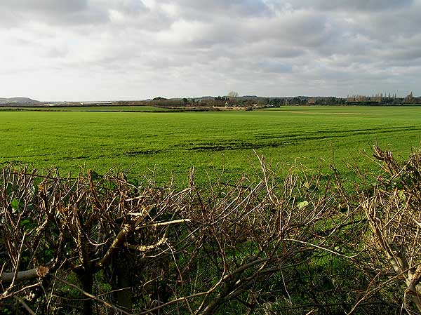
Image: © Ralph Mills Taken: 11 Jan 2006
A public bridleway just enters the bottom SE corner of the square, giving a view over agricultural land
Images are licensed for reuse under creativecommons.org/licenses/by-sa/2.0
Image Location


Leaflet Map data © OpenStreetMap
Latitude
52.886784
Longitude
-1.132035