Wind Street approaching church
Introduction
The photograph on this page of Wind Street approaching church by eswales as part of the Geograph project.
The Geograph project started in 2005 with the aim of publishing, organising and preserving representative images for every square kilometre of Great Britain, Ireland and the Isle of Man.

There are currently over 7.5m images from over 14,400 individuals and you can help contribute to the project by visiting https://www.geograph.org.uk
Wind Street approaching church
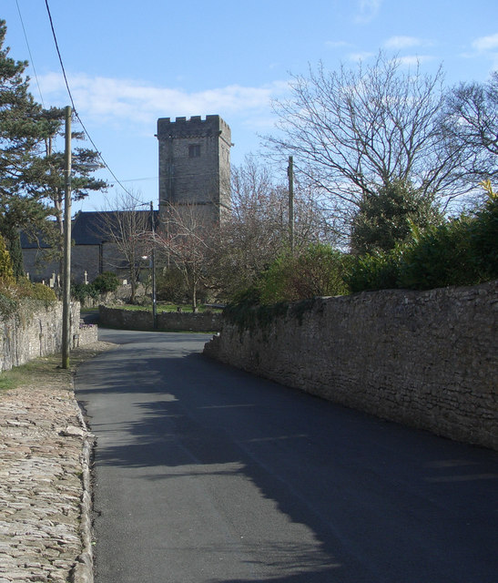
Image: © eswales Taken: 9 Apr 2008
Old stone walls and cobbled pavings run alongside Wind Street as it approaches St. David's Church in Laleston.
Images are licensed for reuse under creativecommons.org/licenses/by-sa/2.0
Image Location
Latitude
51.507159
Longitude
-3.622243