Hermon graveyard
Introduction
The photograph on this page of Hermon graveyard by Natasha Ceridwen de Chroustchoff as part of the Geograph project.
The Geograph project started in 2005 with the aim of publishing, organising and preserving representative images for every square kilometre of Great Britain, Ireland and the Isle of Man.

There are currently over 7.5m images from over 14,400 individuals and you can help contribute to the project by visiting https://www.geograph.org.uk
Hermon graveyard
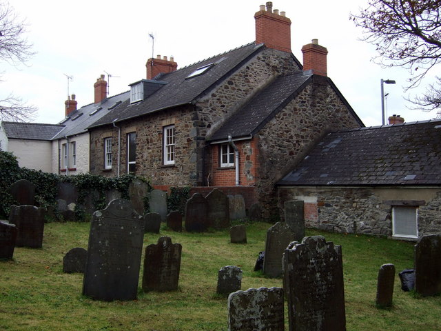
Image: © Natasha Ceridwen de Chroustchoff Taken: 6 Nov 2008
The old graveyard lies to the right of the chapel, with burials dating back to early C19. The backs of some of the High Street houses can be seen beyond.
Images are licensed for reuse under creativecommons.org/licenses/by-sa/2.0
Image Location
Latitude
51.992493
Longitude
-4.977818