Mousel Lane, Cinderford, Forest of Dean
Introduction
The photograph on this page of Mousel Lane, Cinderford, Forest of Dean by Eric Soons as part of the Geograph project.
The Geograph project started in 2005 with the aim of publishing, organising and preserving representative images for every square kilometre of Great Britain, Ireland and the Isle of Man.

There are currently over 7.5m images from over 14,400 individuals and you can help contribute to the project by visiting https://www.geograph.org.uk
Mousel Lane, Cinderford, Forest of Dean
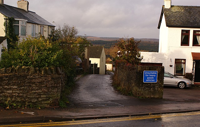
Image: © Eric Soons Taken: 11 Nov 2008
Darting off from Belle Vue Road in Cinderford is this little, somewhat curvaceous, lane. Surprisingly there is a closely packed string of dwellings on both sides of most of the lane as it tumbles down to merge with Woodside Street and Woodside Avenue into the junction of Church Road and Commercial Street.
Images are licensed for reuse under creativecommons.org/licenses/by-sa/2.0
Image Location


Leaflet Map data © OpenStreetMap
Latitude
51.819348
Longitude
-2.495975