Fairbridge Way, access road to Industrial Units, Burgess Hill
Introduction
The photograph on this page of Fairbridge Way, access road to Industrial Units, Burgess Hill by Christine Matthews as part of the Geograph project.
The Geograph project started in 2005 with the aim of publishing, organising and preserving representative images for every square kilometre of Great Britain, Ireland and the Isle of Man.

There are currently over 7.5m images from over 14,400 individuals and you can help contribute to the project by visiting https://www.geograph.org.uk
Fairbridge Way, access road to Industrial Units, Burgess Hill
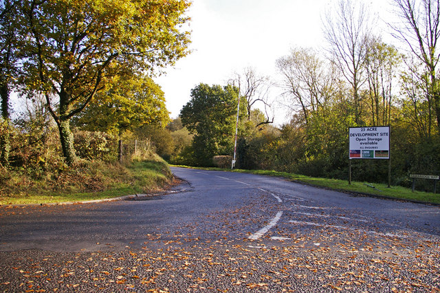
Image: © Christine Matthews Taken: 2 Nov 2008
As seen from the A273 roundabout.
Images are licensed for reuse under creativecommons.org/licenses/by-sa/2.0
Image Location
Latitude
50.968359
Longitude
-0.138714