Martins Pond
Introduction
The photograph on this page of Martins Pond by Alan Murray-Rust as part of the Geograph project.
The Geograph project started in 2005 with the aim of publishing, organising and preserving representative images for every square kilometre of Great Britain, Ireland and the Isle of Man.

There are currently over 7.5m images from over 14,400 individuals and you can help contribute to the project by visiting https://www.geograph.org.uk
Martins Pond
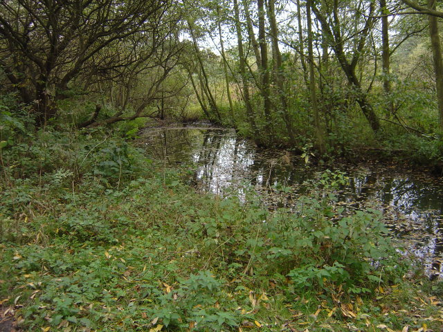
Image: © Alan Murray-Rust Taken: 19 Oct 2008
This channel on the north side of the pond is being allowed to develop naturally into swamp/fen habitat rather than being dredged.
Images are licensed for reuse under creativecommons.org/licenses/by-sa/2.0
Image Location
Latitude
52.957321
Longitude
-1.218303