Footpath around Martins Pond
Introduction
The photograph on this page of Footpath around Martins Pond by Alan Murray-Rust as part of the Geograph project.
The Geograph project started in 2005 with the aim of publishing, organising and preserving representative images for every square kilometre of Great Britain, Ireland and the Isle of Man.

There are currently over 7.5m images from over 14,400 individuals and you can help contribute to the project by visiting https://www.geograph.org.uk
Footpath around Martins Pond
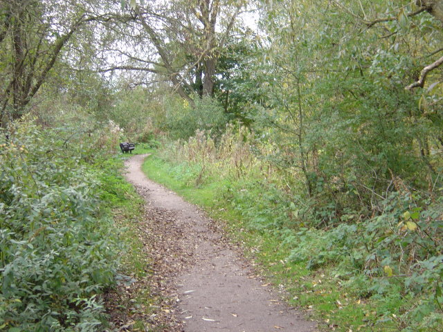
Image: © Alan Murray-Rust Taken: 19 Oct 2008
Apparently developed as a fish pond, probably in the middle of the 18th century, connected with Wollaton Hall. It is now a valuable wildlife habitat.
Images are licensed for reuse under creativecommons.org/licenses/by-sa/2.0
Image Location
Latitude
52.956162
Longitude
-1.219813