Mossy's Tavern Public House, Luton
Introduction
The photograph on this page of Mossy's Tavern Public House, Luton by David Anstiss as part of the Geograph project.
The Geograph project started in 2005 with the aim of publishing, organising and preserving representative images for every square kilometre of Great Britain, Ireland and the Isle of Man.

There are currently over 7.5m images from over 14,400 individuals and you can help contribute to the project by visiting https://www.geograph.org.uk
Mossy's Tavern Public House, Luton
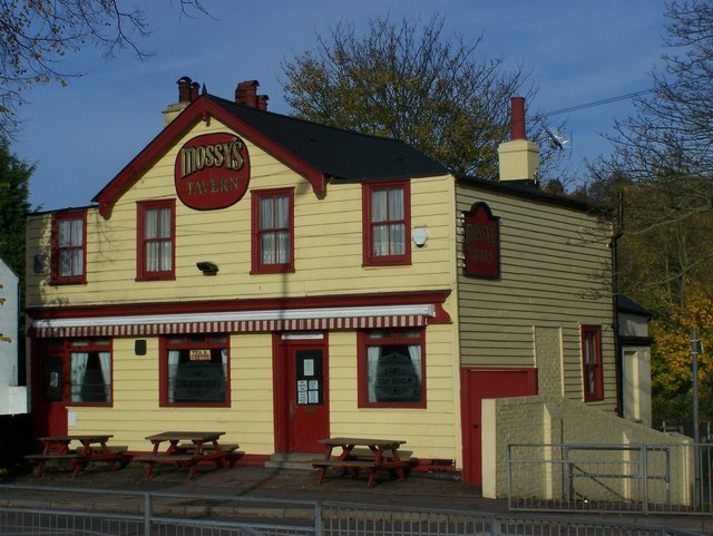
Image: © David Anstiss Taken: 7 Nov 2008
On (53) Capstone Road, opposite Hopewell Drive. Was the Wheatsheaf (see etching on middle window) before re-named and re-furbished as the Tavern.
Images are licensed for reuse under creativecommons.org/licenses/by-sa/2.0
Image Location
Latitude
51.367299
Longitude
0.548636