Mill Hill grazing land
Introduction
The photograph on this page of Mill Hill grazing land by Peter Holmes as part of the Geograph project.
The Geograph project started in 2005 with the aim of publishing, organising and preserving representative images for every square kilometre of Great Britain, Ireland and the Isle of Man.

There are currently over 7.5m images from over 14,400 individuals and you can help contribute to the project by visiting https://www.geograph.org.uk
Mill Hill grazing land
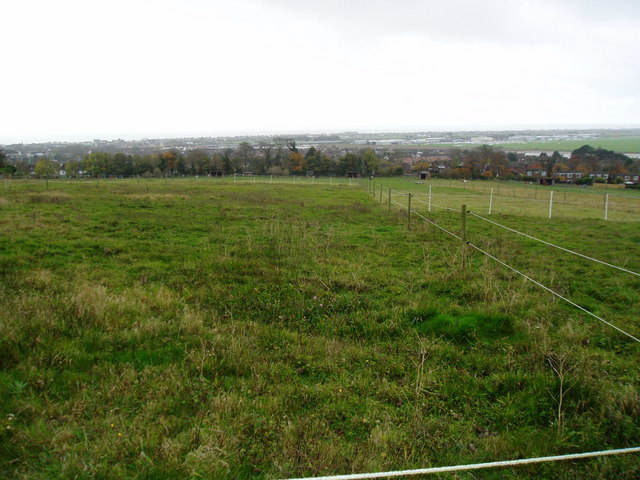
Image: © Peter Holmes Taken: 8 Nov 2008
This large field has been split up into a several paddocks for grazing horses. The buildings of Shoreham airport can be seen in the distance.
Images are licensed for reuse under creativecommons.org/licenses/by-sa/2.0
Image Location
Latitude
50.843818
Longitude
-0.280464