New construction on Regional Cycle Route 79
Introduction
The photograph on this page of New construction on Regional Cycle Route 79 by Peter Holmes as part of the Geograph project.
The Geograph project started in 2005 with the aim of publishing, organising and preserving representative images for every square kilometre of Great Britain, Ireland and the Isle of Man.

There are currently over 7.5m images from over 14,400 individuals and you can help contribute to the project by visiting https://www.geograph.org.uk
New construction on Regional Cycle Route 79
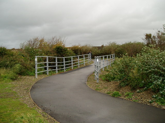
Image: © Peter Holmes Taken: 8 Nov 2008
Thanks to a grant from the South East England Development Agency, Sustrans created this new link from the end of the Downs Link bridleway to the Adur riverside path. This involved filling in a deep ditch and building a new section of the path with safety railings.
Images are licensed for reuse under creativecommons.org/licenses/by-sa/2.0
Image Location
Latitude
50.836249
Longitude
-0.283171