The alley that runs between Faversham health centre and the swimming pools
Introduction
The photograph on this page of The alley that runs between Faversham health centre and the swimming pools by pam fray as part of the Geograph project.
The Geograph project started in 2005 with the aim of publishing, organising and preserving representative images for every square kilometre of Great Britain, Ireland and the Isle of Man.

There are currently over 7.5m images from over 14,400 individuals and you can help contribute to the project by visiting https://www.geograph.org.uk
The alley that runs between Faversham health centre and the swimming pools
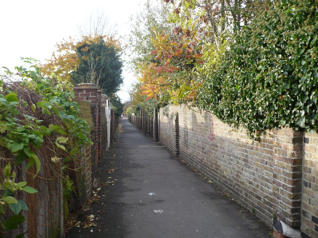
Image: © pam fray Taken: 9 Nov 2008
The alley connects Bank Street with South Road. In the distance can be seen the almshouses on South Road.
Images are licensed for reuse under creativecommons.org/licenses/by-sa/2.0
Image Location
Latitude
51.316117
Longitude
0.889671