Boothferry Road
Introduction
The photograph on this page of Boothferry Road by Andy Beecroft as part of the Geograph project.
The Geograph project started in 2005 with the aim of publishing, organising and preserving representative images for every square kilometre of Great Britain, Ireland and the Isle of Man.

There are currently over 7.5m images from over 14,400 individuals and you can help contribute to the project by visiting https://www.geograph.org.uk
Boothferry Road
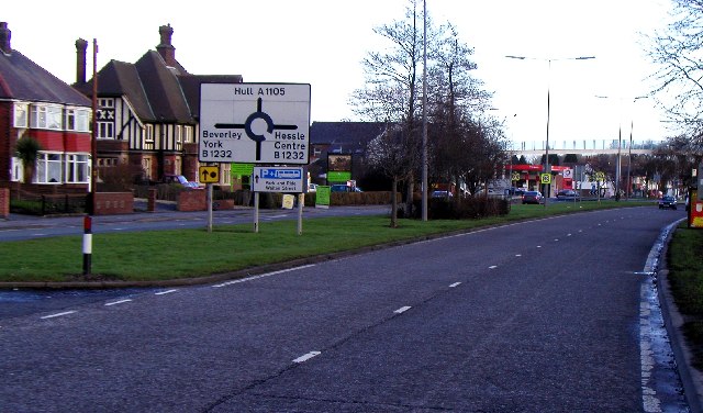
Image: © Andy Beecroft Taken: 11 Jan 2006
This dual carriageway used to be the main road into Hull from the west until the A63 bypass was built further south several years ago. This photo is taken from MR: TA03122725 looking ENE.
Images are licensed for reuse under creativecommons.org/licenses/by-sa/2.0
Image Location
Latitude
53.731873
Longitude
-0.435605