Ruspidge recreation field, Forest of Dean
Introduction
The photograph on this page of Ruspidge recreation field, Forest of Dean by Eric Soons as part of the Geograph project.
The Geograph project started in 2005 with the aim of publishing, organising and preserving representative images for every square kilometre of Great Britain, Ireland and the Isle of Man.

There are currently over 7.5m images from over 14,400 individuals and you can help contribute to the project by visiting https://www.geograph.org.uk
Ruspidge recreation field, Forest of Dean
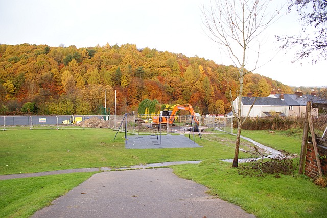
Image: © Eric Soons Taken: 9 Nov 2008
This view of the Ruspidge recreation field shows the work currently in progress to provide a MUGA (Multi Use Games Area). When completed it will have an all weather surface and solar powered, movement activated lighting. The Recreation field can be found on the Western side of Ruspidge road and it gently slopes down to Cinderford brook.
Images are licensed for reuse under creativecommons.org/licenses/by-sa/2.0
Image Location
Latitude
51.807705
Longitude
-2.506435