High Street, Haversham
Introduction
The photograph on this page of High Street, Haversham by mick finn as part of the Geograph project.
The Geograph project started in 2005 with the aim of publishing, organising and preserving representative images for every square kilometre of Great Britain, Ireland and the Isle of Man.

There are currently over 7.5m images from over 14,400 individuals and you can help contribute to the project by visiting https://www.geograph.org.uk
High Street, Haversham
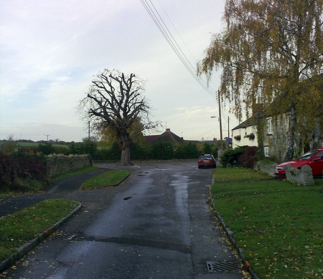
Image: © mick finn Taken: 8 Nov 2008
The High Street continues to the right past the old conker tree. The stone building nearest is the Old Forge and the adjoining building is The Greyhound.
Images are licensed for reuse under creativecommons.org/licenses/by-sa/2.0
Image Location
Latitude
52.078279
Longitude
-0.79321