That Was A Chapel?
Introduction
The photograph on this page of That Was A Chapel? by Steve Reeves as part of the Geograph project.
The Geograph project started in 2005 with the aim of publishing, organising and preserving representative images for every square kilometre of Great Britain, Ireland and the Isle of Man.

There are currently over 7.5m images from over 14,400 individuals and you can help contribute to the project by visiting https://www.geograph.org.uk
That Was A Chapel?
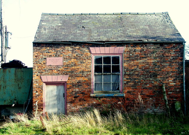
Image: © Steve Reeves Taken: 9 Nov 2008
Sited in the corner of a farmyard and now resembling a decrepit outbuilding, the Wesleyan chapel in Ainderby Quernhow is easily overlooked.
Images are licensed for reuse under creativecommons.org/licenses/by-sa/2.0
Image Location


Leaflet Map data © OpenStreetMap
Latitude
54.223173
Longitude
-1.464997