Boathouse of Tyne Rowing Club
Introduction
The photograph on this page of Boathouse of Tyne Rowing Club by Oliver Dixon as part of the Geograph project.
The Geograph project started in 2005 with the aim of publishing, organising and preserving representative images for every square kilometre of Great Britain, Ireland and the Isle of Man.

There are currently over 7.5m images from over 14,400 individuals and you can help contribute to the project by visiting https://www.geograph.org.uk
Boathouse of Tyne Rowing Club
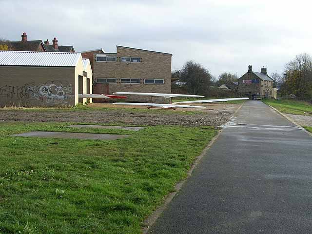
Image: © Oliver Dixon Taken: 8 Nov 2008
Rowing is a popular sport on the River Tyne. Adjacent to Hadrian's Way, a path from Wylam to Newcastle along the north bank of the Tyne which carries both Hadrian's Cycleway http://www.cycle-routes.org/HADRIANSCYCLEWAY/and Hadrian's Wall National Trail http://www.nationaltrail.co.uk/hadrianswall/. In the distance is the "Boatman" public house.
Images are licensed for reuse under creativecommons.org/licenses/by-sa/2.0
Image Location
Latitude
54.982035
Longitude
-1.745122