Holt: junction at Plantation House
Introduction
The photograph on this page of Holt: junction at Plantation House by Chris Downer as part of the Geograph project.
The Geograph project started in 2005 with the aim of publishing, organising and preserving representative images for every square kilometre of Great Britain, Ireland and the Isle of Man.

There are currently over 7.5m images from over 14,400 individuals and you can help contribute to the project by visiting https://www.geograph.org.uk
Holt: junction at Plantation House
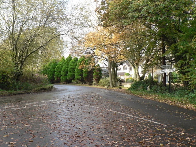
Image: © Chris Downer Taken: 8 Nov 2008
The property Plantation House is set behind a line of evergreen shrubs while autumn is evident all around.
Images are licensed for reuse under creativecommons.org/licenses/by-sa/2.0
Image Location
Latitude
50.845502
Longitude
-1.950662